Commercial Drone Roof Surveys and Inspection Support
Aerial photos can help a warehouse owner distinguish roof sections and locate suspect conditions before arranging field access. In Irving, the address and surrounding airspace need review early, especially near DFW Airport. The inspection plan can then assign aerial and ground observations to the questions each can answer.
Check airspace before promising a survey window
FAA rules apply to drone operations near airports, and controlled airspace requires prior authorization. The operator checks the proposed flight location and applicable limits. At a Freeport Parkway property, also agree on a launch location away from dock traffic and people.
Plan views around towers and busy ground areas
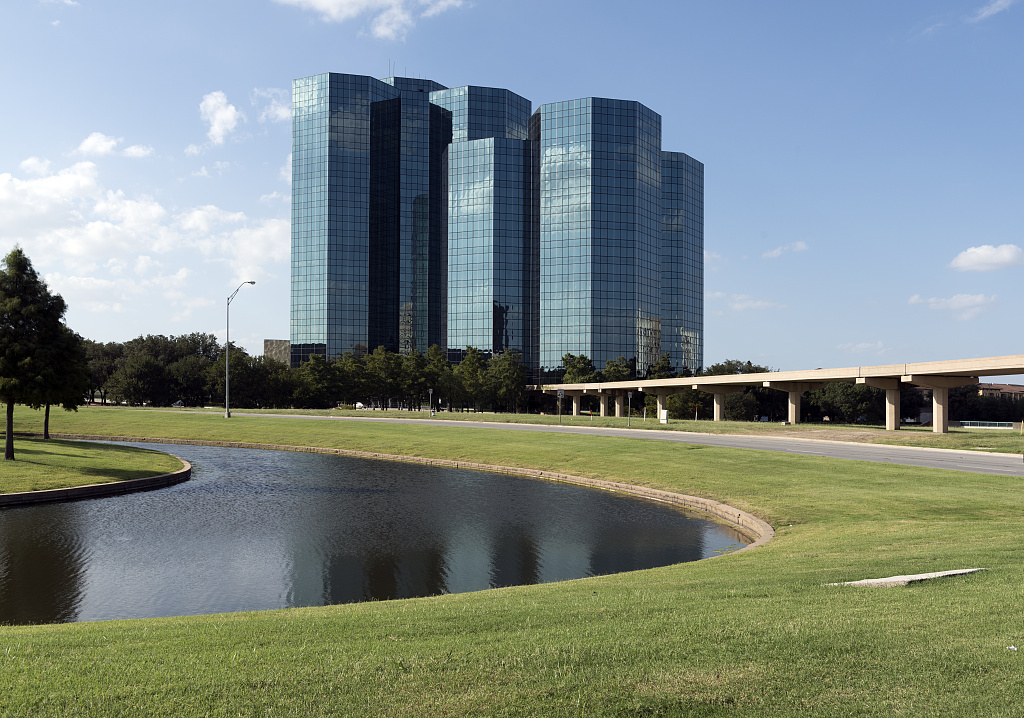
In the Las Colinas Urban Center, adjacent buildings and active public spaces can affect which angles the operator can use. Align the survey goal with feasible views of the roof perimeter, separate elevations, and equipment clusters.
Label what the imagery resolves
Mark observed damage or debris by roof section and keep open items visible. A close roof check may be needed to confirm a loose detail, a suspect seam, or the condition beneath the membrane.
How drone roof inspections support a field assessment
Aerial images document visible roof conditions and help direct a closer inspection. Check suspected moisture, concealed damage, or attachment problems on site when those findings affect the scope of work.
Irving market coverage
Drone survey planning is available for Irving commercial properties where location, airspace, and site conditions support the work.