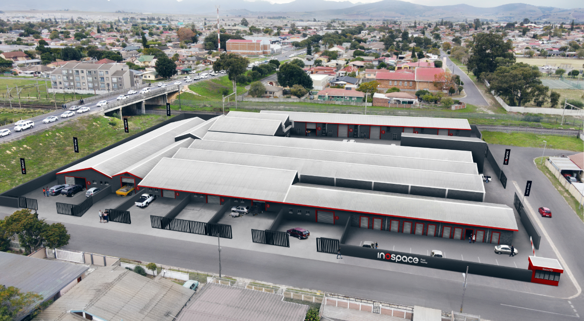
Drone Roof Surveys
A drone sees a roof the way no one standing on it can. From above, the whole field is in frame at once: every seam, drain, penetration, and ponding area visible in a single high-resolution pass, captured without anyone climbing a parapet or stepping onto a fragile membrane. For owners managing roofs across many buildings, aerial survey turns a slow, hazardous, and expensive inspection into fast, repeatable, geo-referenced data. We use drone surveys to give owners a clear and current read on roof condition, scoped to support real decisions rather than to fill a binder.
What Aerial Intelligence Reveals
Many roof problems are far easier to read from altitude than from the surface. Ponding patterns that signal deck deflection or failing drains show up plainly in plan view, where a person walking the roof sees only standing water without its shape. Membrane shrinkage, open seams, displaced flashing, missing ballast, and mechanical damage from rooftop traffic are all visible in detailed orthomosaic imagery. The aerial record also catches the slow encroachments that void warranties and shorten roof life: an unauthorized penetration from a tenant fit-out, an HVAC curb set without proper flashing, debris and vegetation blocking drainage at the perimeter.
The aerial vantage captures context the membrane alone cannot. An adjacent taller structure dropping debris, a tree canopy shedding onto the field, rooftop equipment that has proliferated well beyond what the original design anticipated, all of it explains why a roof is failing and not merely that it is. On a portfolio of similar buildings, that overhead consistency also makes comparison possible. The same camera, flown the same way, lets us rank twenty roofs against one another instead of relying on twenty inspectors' differing notes.
Adding a Thermal Payload
Paired with a thermal sensor, the same flight that documents visible condition can also screen for hidden wet insulation. After a day of solar loading, saturated areas of the assembly release stored heat more slowly than dry areas and read warmer through the membrane as the roof cools. A thermal pass maps those temperature differences across the whole field, flagging where moisture may have spread beneath an intact-looking surface so it can be verified before it drives a larger failure.
This elevates a routine visual survey into a moisture screen, but it does not replace verification. Thermal imaging shows where water is likely, not where it is proven, and a responsible program treats the warm signatures as leads to be confirmed with a moisture meter or a confirmation core, not as conclusions. The thermal pass is most reliable on roofs with insulation above the deck, such as TPO, PVC, EPDM, and modified bitumen assemblies, and far less so on ballasted or highly reflective roofs, where we will say plainly that the method is the wrong tool for that building.
Safety, Speed, and Access
Conventional roof inspection puts people on ladders and on high-slope or deteriorated surfaces, carries real fall and liability exposure, and often requires coordinating roof access with tenants and building security. A drone removes most of that. A single operator can document a large roof in a fraction of the time, reach areas that are unsafe to walk, and image steep or failing sections without ever loading them with a person's weight. Across a portfolio, that efficiency is the difference between inspecting a handful of buildings a year and getting current data on all of them.
The economics follow the same logic. A traditional walk-and-document inspection of a large or complex roof can consume the better part of a day in mobilization, fall protection, and tenant coordination before anyone records a finding, and the cost scales with every building in the portfolio. An aerial pass compresses that into a flight measured in minutes per roof, which means an owner can survey an entire portfolio on the budget a conventional program would spend on a fraction of it, and survey it often enough that the data is genuinely current rather than years stale.
Survey flights over commercial property carry their own operating requirements, and meeting them is part of the service rather than an afterthought.
- Certified remote pilots operating under the applicable small-aircraft rules
- Airspace awareness and authorization where buildings sit under controlled airspace near airports
- Coordination with the property and its tenants so the flight is expected and unobstructed
- Imagery captured to a standard that is clean, complete, and obtained without exposing the owner to operational liability
A Screen, Not a Substitute for Boots on the Roof
Drone survey is a screening and documentation tool, not a replacement for every physical inspection. Some findings demand a hands-on follow-up: a suspected wet area needs a core, an open seam needs a probe, a flashing detail needs to be examined up close. A capable program does not pretend the aerial pass answers everything. It uses the imagery to direct the physical effort precisely.
- High-resolution orthomosaic imagery of the full roof field, stitched and to scale
- Thermal mapping to flag suspected wet insulation for verification
- Drainage, ponding, and penetration assessment across the assembly, whether TPO, PVC, EPDM, modified bitumen, or BUR
- Targeted physical inspection or moisture coring at the locations the imagery flags, so close-up effort goes where it pays
A Record That Compounds Over Time
A single survey is a snapshot; a series is a trend. Because aerial imagery is geo-referenced and repeatable, surveying the same roof on a regular cadence shows exactly how conditions are moving: a seam opening year over year, ponding spreading across a low spot, a coating weathering toward the end of its reflective life. That progression is precisely what an owner needs to time capital, and it is exactly what a manufacturer wants to see when a warranty claim turns on whether damage was sudden or the result of neglect. An archive of dated, consistent imagery is an asset in its own right, and it costs almost nothing to build once the flights are already happening.
An Owner-Side Survey, Not a Sales Flyover
Roofing contractors increasingly offer a free drone flyover, and owners should understand what that is. A flyover offered by the party that wants to sell the repair is a lead-generation exercise, framed to surface enough alarming-looking imagery to justify a proposal. The footage may be real, but the interpretation is not disinterested, and the recommended scope tends to track the contractor's preferred system and margin rather than the building's actual remaining life.
We fly the same airspace with the opposite incentive. Because we do not install roofs or sell membranes, our reading of the imagery is calibrated to your hold period and your reserve plan, not to a work order. A finding that a roof has six good years left is as useful to us to report as a finding that it needs intervention now, and we will tell you when a contractor's alarming image is, on the evidence, a maintenance item rather than a replacement trigger. That independence is the whole point of commissioning the survey owner-side: the camera is the same, but the judgment behind the report is accountable only to you.
From Imagery to Owner Decisions
Raw drone footage is not an answer, and a folder of striking images does not help an owner allocate capital. The value is in the interpretation, and that is the part we own. We translate the imagery into condition ratings, remaining-life estimates, and a prioritized list of what needs attention now versus what can wait, then fold it into reserve planning and capital forecasts so a portfolio of roofs can be ranked by genuine need. A building owner does not benefit from forty sets of pictures; they benefit from knowing which three roofs out of forty should absorb next year's budget, and why. Survey, condition assessment, and capital timing are read as one picture, with the documentation retained to defend warranty positions and support reserve studies. The drone gathers the intelligence; our job is to make sure it changes what you do next.